The treasured land – from fjords to mountain tops in Helgeland
Narrow fjords and broad valleys, large and small rivers, and vast, unbroken forest, upland plaueaus and still loftier plateaus that form the foundations for alpine peaks and rows of mountains, including Visttindan, Finnknean and Breivasstinden, the most obvious landmarks in the national park.
Along the fjords and valleys are groups of houses that have never had a road link to the outside world, as well as traces of more ancient settlement. Signs of Sàmi reindeer husbandry predominate in the inner valleys and on the mountains.
The Lomsdal-Visten Nationalpark is part of the Helgeland belt, a string of protected areas streching from the coast to the Sweedish border, from the Helgeland islands in the west to Børgefjell in the east.
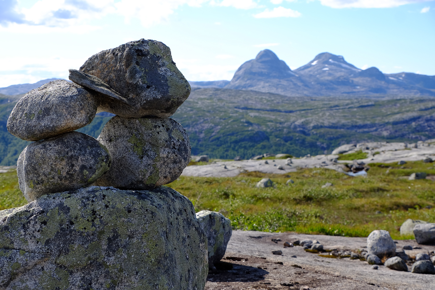
The park is ideal for long, often strenuous, hikes in varied, beautiful countryside. The park has few facilities to ease hiking. You need a tent and a compass in this wilderness realm. The area has just a few unlocked huts, and this will continue to be the case. Paths are only sparsely marked by ancient stone cairns, hardly any red T`s are to be found here.
The Lomsdal-Visten nationalpark has varied and rich flora and fauna attached to the coast and seashore, cultured landscapes, woodlands and mountains. Many Red Listed species of birds, plants, fungi and animals are found in surprising numbers and can give the observant hiker unique thrills.
The rivers are interrupted by many magnificent, cascading waterfalls, which can also make hiking difficult.
How to reach the Lomsdal-Visten nationalpark:
From the east: From Trofors in Grane it is a short way to Stavassdalen (8 km), a natural starting point for hikes into the park. From Stavassdalen you can reach Storklumpen, the highest peak of the park (1292 m).
From the north: In Vefsn, a road runs along the valley of Eiterådalen, from wher a short walk takes you into the mountains in the centre of the park. From Tverådalen, 7 km due west of Mosjøen, a marked path takes you up the valley of Sørvassdalen and into the park.
From the south: The road through Tosbotn (linking E6 and Rv17) is a natural starting point for hikes into the magnificent mountains in the south.
From the west: You can take a local express boat from Forvik in Vevelstad to Bønå or Aursletta at the head of Vistfjorden. From Nevernes in Brønnøy, you can reach four fjordarms by private boat.
For more information: